
Recent Projects
University Projects

AI4EO Spring School
Vannes spring school report 2026.
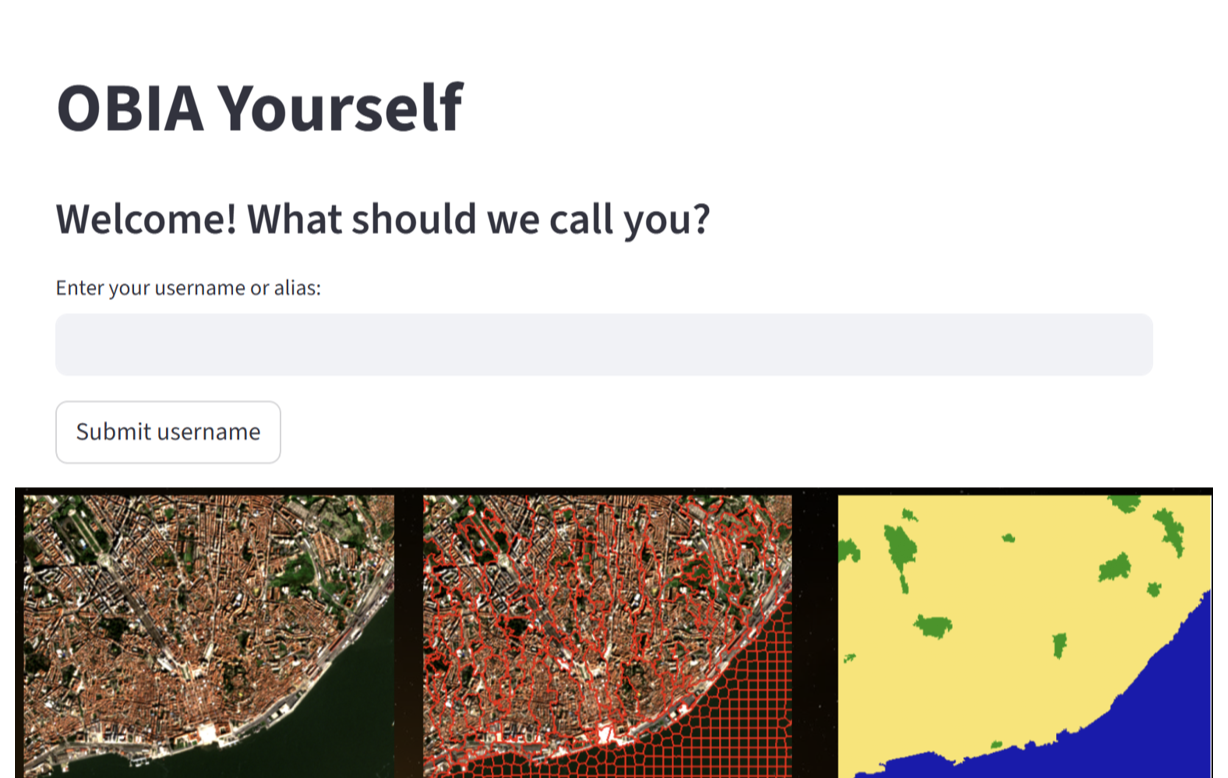
Object Based Image Analysis App
Demo version of the OBIA Yourself app.
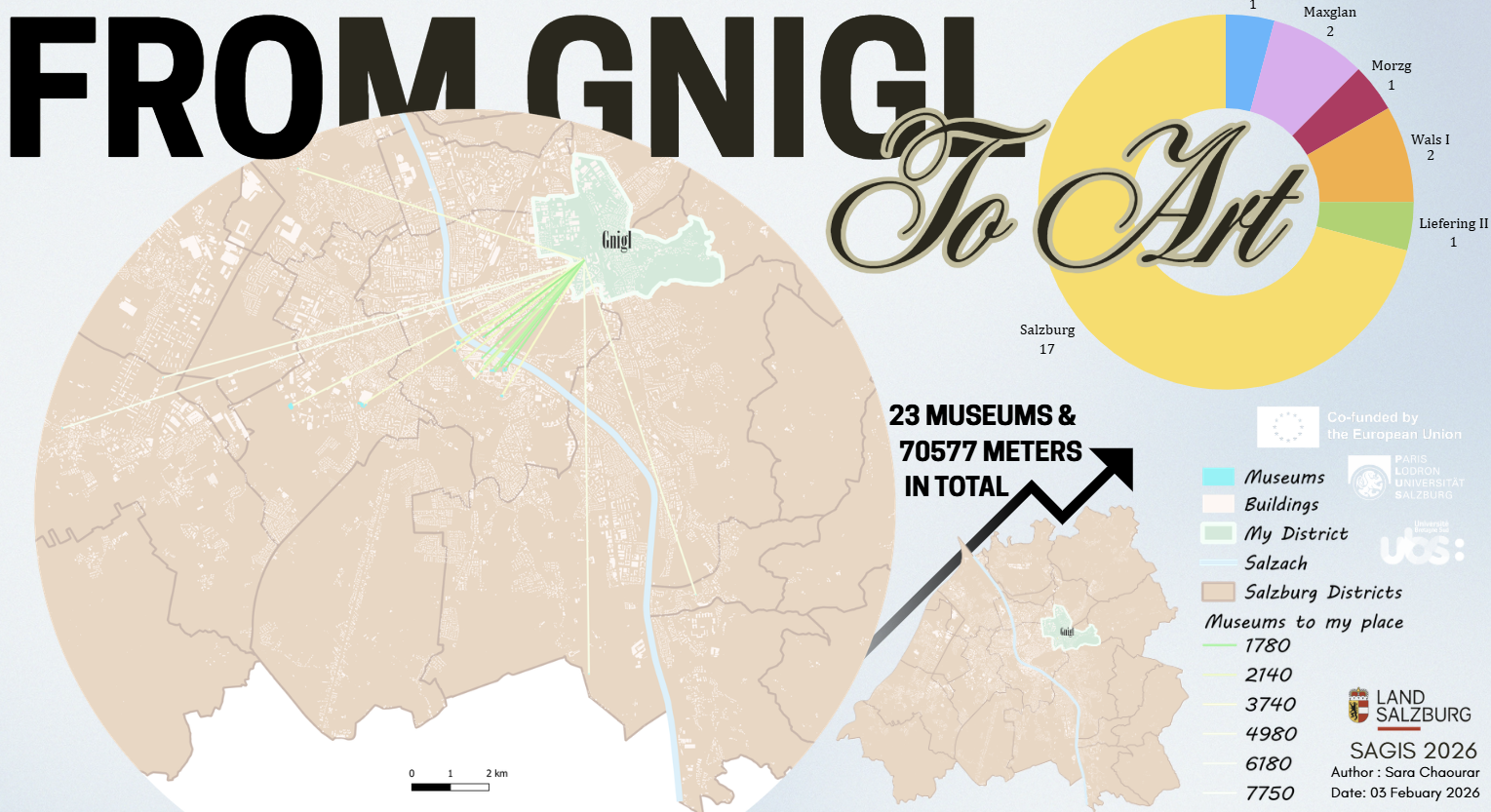
From Gnigl to Museums
Poster map of the city of Salzburg and its museums.
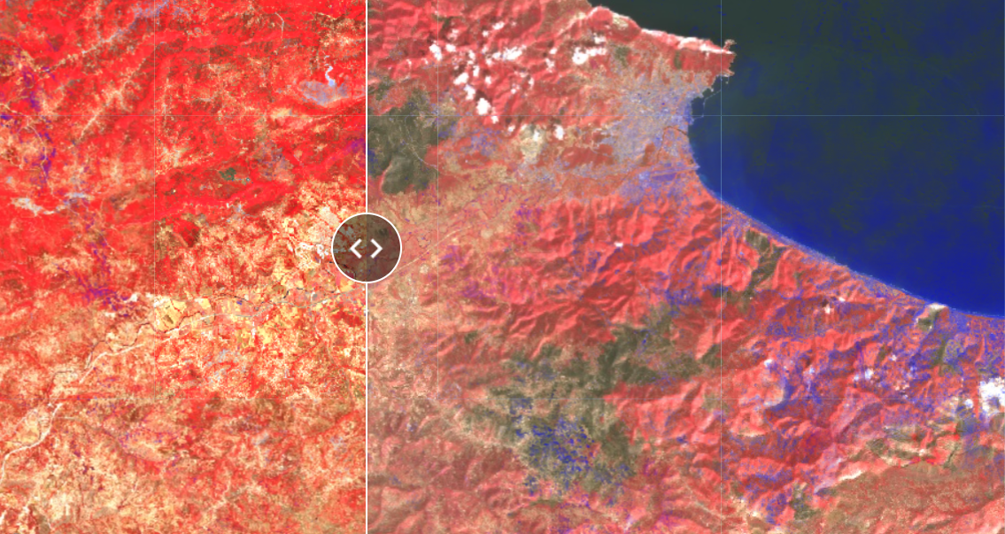
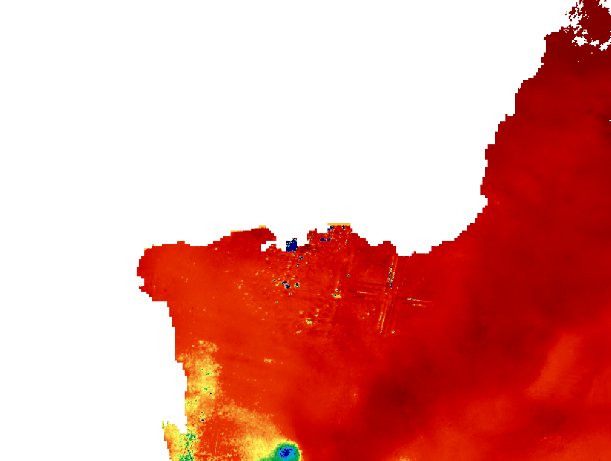
Wildfires
Algerian Wildfires (2021) mapped and visualised using Google Earth Engine.
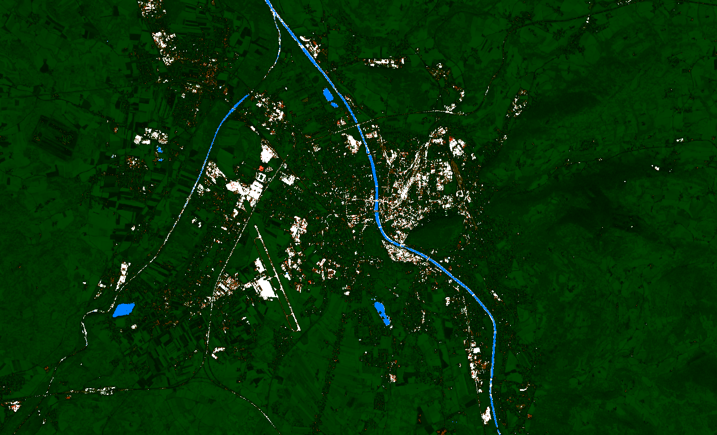
Calssification
Sentinel-2 land cover classification using Copernicus Browser.
Displacement Map
Change detection with Interferometric SAR.
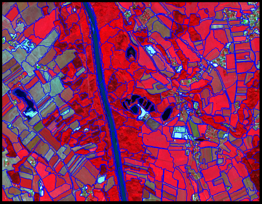
Image Segmentation
Image Segmentation of Salzburg stadt using eCognition.
GIS Skills
Remote Sensing
- Sentinel-2 processing and interpretation
- Vegetation and change indicators for monitoring
- Object-based image analysis in eCognition
Spatial Analysis
- Environmental impact assessment support
- Coastal and marine GIS workflows
- Decision-ready mapping and visualization
Tools & Platforms
- Google Earth Engine
- Copernicus Browser
- Satellite imagery for GIS projects
Gallery
Webmap Poster - Salzburg Museums
An interactive webmap poster showcasing Salzburg's museums, created using Canva.
Data source: SAGIS Salzburg Open Data • Created with QGIS & Canva
Wildfire Monitoring – Tizi Ouzou (2021)
Sentinel-2 imagery processed using Google Earth Engine to visualize pre-fire vegetation conditions.
Data source: Copernicus Sentinel-2 L2A • Processed in Google Earth Engine
Certificates
Affiliations

Co-funded by the European Union · Copernicus Master in Digital Earth